Intense Cyclone Forms in Southwest Pacific
As the 2026 storm season in the North Atlantic comes to a close, meteorological activity is increasing in the Southwest Pacific. On November 15, the Fiji Meteorological Service reported a significant tropical disturbance located northeast of Samoa and the Cook Islands. This system, named Xavier, has quickly escalated to become one of the most powerful November cyclones the area has experienced in decades.
Xavier intensified rapidly due to favorable conditions, including low wind shear and warm sea surface temperatures reaching 29 degrees Celsius (84 degrees Fahrenheit), which are ideal for the development of tropical cyclones. It is the second named storm of the season in this basin, following Wati, which was relatively short-lived in October.
Satellite data from NASA indicated that Xavier was moving along the southwestern edge of a large warm water mass extending from the western coast of South America to the central Pacific, a phenomenon associated with the El Niño event that has been present since June.
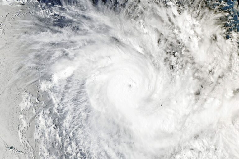
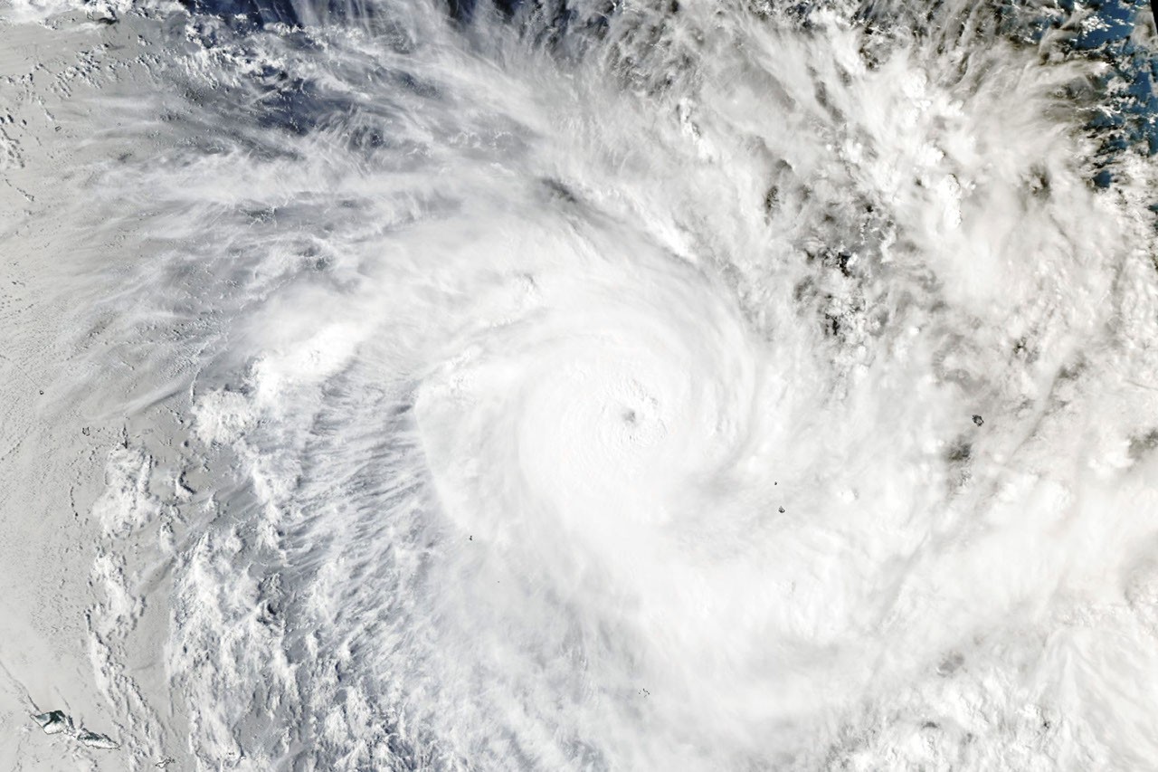
On November 17, 2026, at 02:53 Universal Time, the MODIS (Moderate Resolution Imaging Spectroradiometer) on NASA’s Aqua satellite captured an image of Xavier, which at that time had maximum sustained winds of approximately 195 kilometers (120 miles) per hour. Later that day, the storm reached peak winds of 220 kilometers (140 miles) per hour, categorizing it as a Category 5 cyclone on the local intensity scale, or a Category 4 on the Saffir-Simpson scale.
Record Strengths and Unusual Formation
According to Phil Klotzbach, a hurricane expert at Colorado State University, Xavier is now recognized as the strongest November tropical cyclone recorded east of the international date line. Its unusual formation near the northern Cook Islands aligns with research suggesting that storm activity typically shifts northeast during El Niño years, which tend to enhance the rapid intensification of cyclones.
Reports indicate that Xavier caused damage to homes and disrupted power supplies as it moved past the northern Cook Islands. The storm later encountered drier air and less favorable wind conditions, leading to its gradual weakening as it traveled westward, thus reducing the risks it posed to Samoa and American Samoa.
Xavier is anticipated to be just the first of several storms that may impact the region in the upcoming months. The seasonal forecast from the Fiji Meteorological Service projects the likelihood of 11 to 15 named tropical cyclones this season, with the highest risk occurring east of the international date line. Typically, storm activity in the Southwest Pacific peaks in February.
NASA Earth Observatory provided the imagery and analysis regarding this developing situation.
Source: NASA