NASA Develops Advanced Lidar Technology for Earth Mapping
A new laser instrument developed by researchers at NASA’s Goddard Space Flight Center aims to revolutionize the way scientists measure Earth’s surface features. Known as the Concurrent Artificially-intelligent Spectrometry Lidar System (CASALS), this innovative technology seeks to eliminate blind spots found in traditional space-based lidar measurements, which often leave vast areas unmapped.
Three-Dimensional Mapping Capabilities
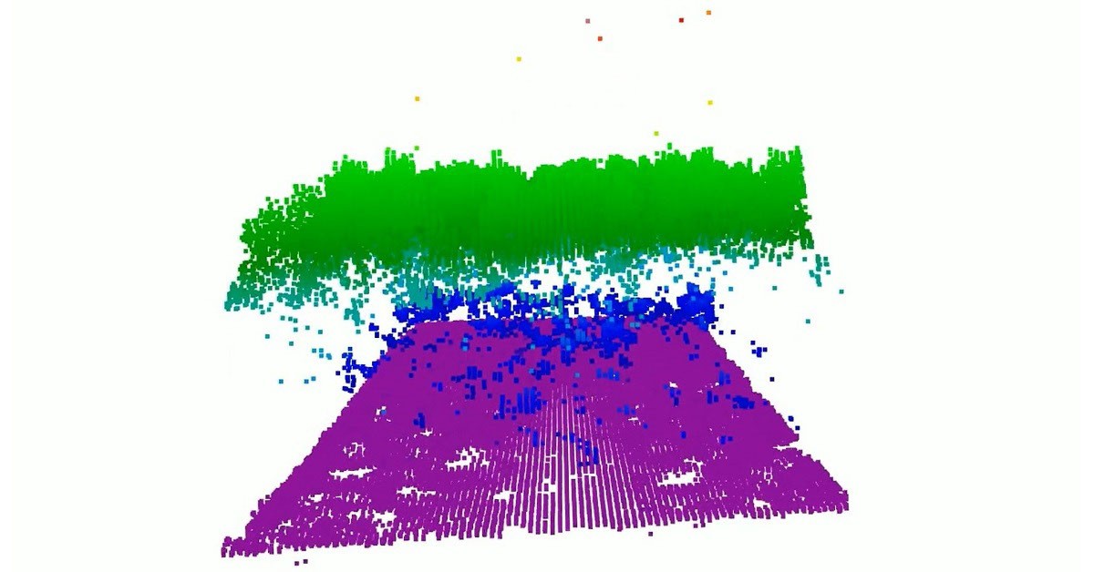
Unlike conventional lidar systems that rely on mechanical steering with moving mirrors, CASALS employs a groundbreaking method of directing laser light using its wavelength. This approach enables the instrument to create continuous three-dimensional (3D) representations of Earth’s terrain. By utilizing a fast-pulsing, tunable laser, CASALS can cycle through 256 different wavelengths, which, when passed through a specialized optical grating, produce distinct ground measurements across its flight path.
John Yorks, a physical research scientist at Goddard and principal investigator for the project, noted that this non-mechanical steering method significantly reduces the size, weight, and power needs of the instrument, enhancing its reliability for deployment in space.
Innovative Detector Technology
Another notable feature of CASALS is its detector array, which boasts a high Quantum Efficiency (QE) of 80%. This allows the system to effectively convert incoming light into electrical signals, ensuring minimal waste of returning photons. As a result, CASALS can gather data from weaker return signals, facilitating measurements from darker surfaces and through dense vegetation.
Successful Airborne Tests
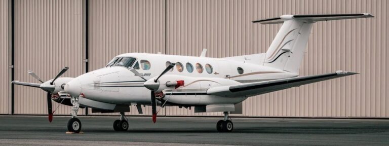
In November 2024, CASALS underwent successful testing aboard NASA’s B200 King Air aircraft, yielding science-quality data that exceeded expectations. Yorks expressed his admiration for the engineering team’s performance, highlighting the instrument’s ability to discern fine details of vegetation and subtle topographical changes from an altitude of approximately five kilometers.
Future Missions and Improvements
The CASALS team plans to conduct additional flights as part of the Airborne Surface, Cryosphere, Ecosystem, and Nearshore Topography (ASCENT) campaign, scheduled for summer 2027. Preparations are underway to enhance the instrument for a future space mission, which includes widening its measurement swath and integrating onboard data processing capabilities.
Yorks acknowledged the challenges of transitioning from an airborne prototype to a space-ready version, but expressed confidence in the team’s dedication to optimizing performance. If successful, CASALS could mark a significant advancement in spaceborne lidar technology, providing scientists with comprehensive insights into Earth’s changing landscape.
Source: NASA